Are you ready to find serious elevations in Mauritius? Road cyclists understand that the true enchantment our island lies interior. The island’s volcanic history has left behind a landscape of high hills, and difficult ascents that provide an unforgettable workout. They are the ideal routes to test your cycling abilities. Grab your water bottles, check your gear, and clip in, this is my official guide to Mauritius’ top 13 road cycling climbs.
NOTE: This list is on road cycling and NOT mountain biking!

Arsenal to Ripailles (Verdun Motorway)
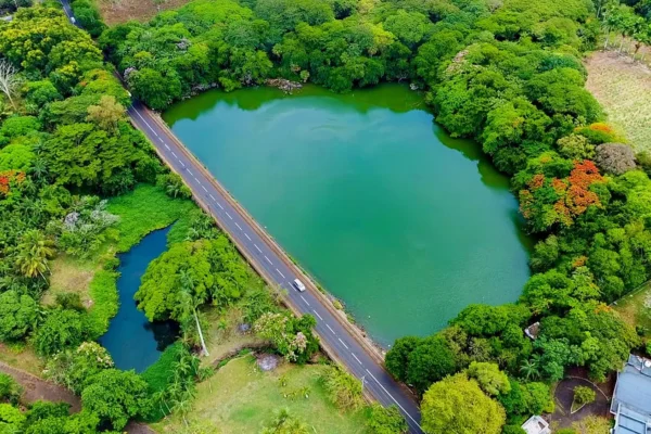
The Verdun motorway is one of Mauritius’ top cycling climbs. The best route to get started is from Arsenal village to Ripailles. The ascent begins gradually from Arsenal and then varies till the Crève-Coeur roundabout. The real climb begins from there to Ripailles. After Ripailles, you will face a descent to Highlands. If you want to continue ascending, take the Nouvelle Découverte main route to Salazie. The Verdun motorway climb provides breathtaking views of the Montagne Longue range, Echelle Rock, Virgin Peak, and Pieter Both. The upper level includes Robinson, Calebasses, and Deux Mamelles peaks.
Total Climb Distance: 11.5 km approx.
Difficulty Rating: 3/5.
View Route: Google My Maps
Pamplemousses to La Nicolière
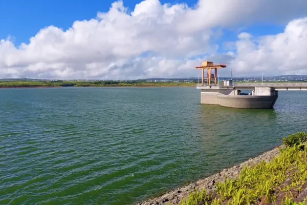
La Nicolière is the most popular climb in Mauritius’ northern regions. This track is frequently used by amateur and professional cyclists to train their legs. Starting from Pamplemousses, you will encounter a gradual ascent of Mon Gout and The Mount villages until you reach La Nicolière. Salazie will be the finish part for the climb. On the way, you may appreciate the gorgeous scenic route of Grande Rosalie, as well as the stunning reservoir of La Nicolière.
Total Climb Distance: 12.4 km approx.
Difficulty Rating: 2.5/5.
View Route: Google My Maps
Case Noyale to Plaine Champagne (Chamarel)
It is regarded one of Mauritius’ most difficult cycling climbs. The ascent begins from Case Noyale village, passing a few beautiful viewpoints on the upper sides before arriving at Chamarel village. The ascent from Chamarel continues until it reaches Plaine Champagne. The climb concludes precisely at the Black River Gorges Viewpoint. Following that, there is a steady drop to the Pétrin main road. The entire climbing route is known as the 52 Contours. After Chamarel, the road becomes narrower and more treacherous, with multiple turns. If you prefer a gentle ascent to Chamarel, you can opt to climb from Baie du Cap, instead of Case Noyale.
Total Climb Distance: 11 km approx.
Difficulty Rating: 4/5.
View Route: Google My Maps
Grand River North-West to Alexandra Falls
A long ascending route that starts from Grand River North-West to Alexandra Falls. This 34 km journey begins with a steep ascent from Borstal, Belle Etoile, and Rose-Hill and continues through Candos, La Marie Road, and Pétrin to the Alexandra Falls parking area. The route is frequently busy from Grand River North-West to Glen Park, then smooth beyond that.
Total Climb Distance: 34.5 km approx.
Difficulty Rating: 3.5/5.
View Route: Google My Maps
Pamplemousses to Eau Bouille (Les Mariannes)
Total Climb Distance: 12 km approx.
Difficulty Rating: 3/5.
View Route: Google My Maps
This route, often known as the Les Mariannes climb, is a miniature version of Bassin Blanc. Begin at Pamplemousses, then pass via Camp Embrevade before ascending to Ilot. Then, follow the Ilot climb to Long Mountain village and continue climbing until you reach Eau Bouille from Les Mariannes. Les Mariannes is amazing. It provides a beautiful perspective of various mountain ranges and the Northern areas, up to Coin de Mire Island. The last climb to Eau Bouille is among the most difficult. The ascent concludes at Eau Bouille’s iconic well, where you can relax before returning via Nouvelle Découverte or Salazie.
Ilot to Eau Bouille (Congomah)
The Les Mariannes ascent can alternatively be completed from Ilot, passing through Congomah village and ending at Eau Bouille. Congomah, a beautiful and tranquil community, offers an excellent uphill for cyclists to exercise on.
Total Climb Distance: 10.5 km approx.
Difficulty Rating: 3/5.
View Route: Google My Maps
Rivière des Galets to Pétrin (Bassin Blanc)
The most difficult cycling climb in Mauritius for most bikers. The steep ascent to Chemin Grenier begins at the bus terminal in Rivière des Galets. Then, a gentle ascent from Chamouny, followed by a couple hard climbs to Bassin Blanc, with turns. The wind makes this track slightly more challenging than Chamarel climbs. The wind usually blows to the sea, thus you have to struggle against the wind while climbing from Chamouny. The track offers stunning vistas, including an upper view of the Bassin Blanc volcano crater. If you wish to shorten the climbs, you can start from Chamouny.
Total Climb Distance: 11.5 km approx.
Difficulty Rating: 4.5/5.
View Route: Google My Maps
La Flora to Pétrin (Grand Bassin)
A short road cycling ascent from La Flora to Pétrin, passing the Grand Bassin crater lake. Cyclists frequently choose this route for its breathtaking scenery, notably from Bois Chéri, which is surrounded by tea plantations and open spaces. The slope is hard from Bois Chéri to Grand Bassin, then smooth to Pétrin.
Total Climb Distance: 12.5 km approx.
Difficulty Rating: 3/5.
View Route: Google My Maps
Montagne des Signaux
Cycling is prohibited on Montagne des Signaux (which is lame), but a few cyclists use it for training. Begin at the road adjacent to the parking lot and climb until you reach the summit. It is a 3 km long road with some tough ascents. Be cautious when descending because there may be joggers and walkers.
Total Climb Distance: 3 km approx.
Difficulty Rating: 3.5/5.
View Route: Google My Maps
La Cambuse to Phoenix (Motorway)
A long road cycling climb begins in La Cambuse and ends at Phoenix. From La Cambuse, it gives you a variety of gradients before ascending gently to Phoenix. There are a lot of winds and traffic, as it is mostly done on the motorway.
Total Climb Distance: 35 km approx.
Difficulty Rating: 3.5/5.
View Route: Google My Maps
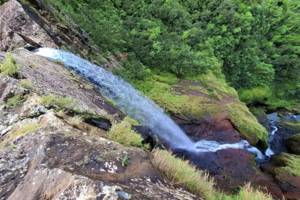
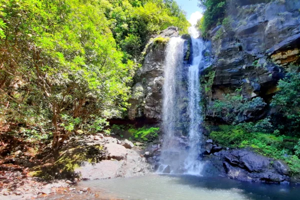
Mahebourg to Midlands (Cluny)
Starts from Mahebourg Waterfront, continues to Ferney roundabout, and then takes the Riche en Eau route up to Cluny, passing Eau Bleue waterfall before ending at Midlands. This is a very hilly route, especially the Cluny Road. However, there is enough of beauty surrounding. If you want to refresh yourself, visit the Eau Bleue waterfall!
Total Climb Distance: 20 km approx.
Difficulty Rating: 4/5.
View Route: Google My Maps
Poste de Flacq to Salazie (Pont Bon Dieu)
A popular route for cyclists! It begins from Poste de Flacq with a gentle ascent to Saint Julien, then continues to Belvedère via Lallmatie before encountering a strong climb to Pont Bon Dieu and Salazie.
Total Climb Distance: 17.5 km approx.
Difficulty Rating: 3/5.
View Route: Google My Maps
Flic en Flac to La Vigie
Starting from Flic en Flac beach, you will face a hard hill to Cascavelle, then take the new bypass route to Holyrood, which is a tough climb, reaching Henrietta, and ultimately ending at the La Vigie woodland roundabout. Lots of wind, but at the end of the day, you will enjoy it!
Total Climb Distance: 23 km approx.
Difficulty Rating: 3.5/5.
View Route: Google My Maps
Some Nutrition Tips For Cyclists
Cycling uphill in Mauritius can be difficult, thus proper nutrition is essential. Every hour of riding consumes between 35 and 60 grams of carbs. It can come from a variety of sources, including energy gels. Drink at least 600 ml of water per hour as well. Do add a pinch of salt and sugar to the water to enhance electrolytes.
Conclusion
This is a list of popular road cycling climbs in Mauritius. Do not forget, safety is important, thus, wear a proper helmet, carry your spare parts, and nutritions.
Author

Author: Ali J | Date Published: June 20, 2026 | Last Updated: NA
Subscribe For Newsletters
Not just newsletters, but you may enjoy free vouchers, coupons, activity deals and many others while subscribing…